Indiana 1940-1949 Date Range Antique North America Sheet Maps
All
Auction
Buy It Now
10 Results
Indiana - Oolitic Quadrangle (1935 survey) Original...
ILS 127.19Was: ILS 149.63ILS 414.52 shippingVintage 1947 State Map Print Suitable For Framing 2 Sided Illinois Indiana
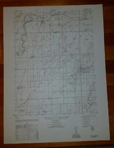
ILS 70.89ILS 273.30 shipping1940's Army topo map Lewis Creek Indiana (like USGS)-Sheet 3862 IV NE
ILS 74.78ILS 252.35 shipping1940's Army (like USGS) topo map Trafalgar Indiana -Sheet 3762 I NW
ILS 74.78ILS 252.35 shipping1940's Army topo map Edinburg Indiana -Sheet 3862 IV SW
ILS 93.48ILS 252.92 shipping1940's Army topo map (like USGS) Waymansville Indiana -Sheet 3762 II SE
ILS 74.78ILS 252.35 shipping1940's Army (like USGS) topo map Hope Indiana -Sheet 3862 IV SE
ILS 74.78ILS 252.35 shipping1940's Army topo map Franklin Indiana (like USGS)-Sheet 3762 I NE
ILS 93.48ILS 252.92 shipping1940's Army topo map Fruitdale Indiana (like USGS) -Sheet 3762 I SW
ILS 74.78ILS 252.35 shipping1940's Army (like USGS) topo map Edinburg Hope Indiana -Sheet 3862 IV
ILS 93.48ILS 252.92 shipping